I have been mountain biking in and around St. George since John Czinczoll (builder of the JEM trail) took me down the Green Valley loop in 1993, on a bike with no suspension, and operated by a rider with few actual skills, and a basic ignorance of the physics of inertia. I only really got the mountain bike bug after coming back from a climbing trip to Thailand in 2003, which sort of burned me out on traveling to go rock climbing. While climbing will likely always be a huge part of my life in St. George, that piece of pie has gotten gobbled up by a growing love of the quality and diversity of the biking that we have in this part of Utah. Yet even down in the low desert of Utah our winter biking opportunities are limited by the reach of the northern snow pack, and cold of the higher elevation rides, which made for great excuses to head to southern Arizona over the past few years. After sampling the pain levels involved in riding into most of the cactus species in the Sonoran Desert, I decided that this year I would forgo winter all together and sample what the best mountain biking in the southern hemisphere had to offer. I left for New Zealand in early December and will not return until early February.
Travel; even in the year 2018, is tedious, uncomfortable, frantic and stressful. The very idea of packing up a small version of your possessions and then moving via multiple methods of conveyance to a different locale on what is still the same planet; in order to obtain a new perspective on the value of where you live, (and your life in general) seems on the face of it a huge waste of time and resources. In the process of moving across landscapes and datelines you are forced to schlep, carry, lift, and cram your meager (but still fucking heavy) possessions through enough security checkpoints that your toothpaste should glow in the dark from the x-ray radiation. From there you manhandle it into overhead bins, under your feet, and into or out of shuttles, taxis, conveyors, rickshaws or camels for the remainder of your travel.
Yet it is said that travel makes us grow, gives us new frames of reference by which to see the world and appreciate how differently other people attempt to solve the problem of living and how to create a good life, given the climate, natural resources, traditions, and societal organization that they are born into. Yet it is worth noting that these aren’t your climate, traditions or societal organizations, and so in seeking differences do we merely discover a gulf of such exponential scope that they become nothing more than a series of interesting facts intended to impress people you already know. I mean that the shape of penis gourds amongst the tribes of New Guinea, probably makes for very unique dinner party conversation, but that knowledge will do nothing to address your erectile dysfunction, beyond disguising it.
December 11th
So I made it and have 4 days of riding under my belt so far. I have been trying to get a sense of the trail networks, gain some biking fitness, and so far, seeing just how lost I can get. One problem I had not considered is how screwed up just being in the other hemisphere can be. The shadows all point in the wrong direction, driving is on the wrong side of the road, I have no idea what most of the road signs mean, like what the hell would a silver circle with a diagonal black slash mean? No moving diagonally? I try not to do that in general in a moving vehicle, I don’t need a fucking sign to remind me. The people here are in principle speaking the same language that I am, but it is hardly understandable, the words left and lift are pronounced exactly the same, I mean if we are going to go to the trouble of spelling them differently, I think that you should make an effort to try to speak them with a discernable difference. I had a dude on one trail tell me that a particular trail section was a piece of piss, which came out piss of piss. I had to ask 3 times what he was trying to say to me, and even when I did understand him it didn’t make any more sense than when I didn’t understand him.
I honestly don’t know how this would be possible alone without Google maps, fortunately it is an island and you can only get so lost, but I am pretty sure that I would be pinging from one coast to the other without the Google lady talking calmly and patiently in my ear. I miss a turn and she simply figures that I am a moron who needs alternate directions and provides them without any attitude at all. I have found myself wishing that she would occasionally validate my frustration at myself with a timely… “Where the fuck are you going now? I said left you idiot.” Fortunately I have her speaking normal English or I wouldn’t understand a thing she was saying.
The riding has been pretty good with glimpses of awesome at times. I have admittedly been exploring the areas north of Auckland and these probably aren’t the premier rides, but I am hoping for a broad sense of the riding rather than a tick list of the world renowned trails.
I rode an area outside of the town of Wangari (they all start with a W and look the same to me, like someone is trying to talk to you with a mouth full of marbles) This trail started at the top of the hill that you drive up to the top of (for a change). It was about a mile of 6’ bermed turns, rollers, and pumps that careened down the face of an improbably steep hillside. It was scary fast and amazing fun until I came into a turn a bit fast and low and started to carve hard to make the turn without flying off the trail and down the face of the mountain. Clay has an unfortunate tendency to get slippery when wet and as the bike flew out from under me that tendency was made apparent as my head smacked into it. I saw whirling little kiwi birds for a few seconds, and for the second time in the past 3 weeks got up gingerly to see if I broke or tore anything. Beyond a sore wrist and a nice covering of clay it was just a good lesson in trail conditions, but I seriously need to stop testing the limits of my helmet.
Rotorura Dec 13 to 15th
This place: If they had a tag line it would be “living up to the hype.” First impressions are of a tourist destination built around the geothermal activity of the region (the whole town smells like brimstone). A second glance would reveal logging on a pretty massive scale with clear cut areas of bleached-out stumps on many of the surrounding hillsides. A closer look at these would reveal tan strips of clay dug out of the exposed hills in the form of berms, rollers and jumps. What is unapparent and completely invisible altogether is the immense wealth of single track that weaves between, along, amongst and through a forest that can’t seem to make up its mind to be tropical, temperate, coniferous, or otherworldly. These are not your typical single tracks. From the first moment that the bike departs the access road it seems to adhere to the trail as though after years of artificial substitutes, it was finally entering its most natural environment, the bike feels at home on this surface, like they were made for each other, and I guess in a sense they were. Both the bike and trail seem to work together as an efficient mechanism whose purpose is to plunge the seemingly redundant human operator down the hillside in the most beautiful manor achievable, … or at least intact, it often feels as if I were to depart the bike that it could just continue on without me.

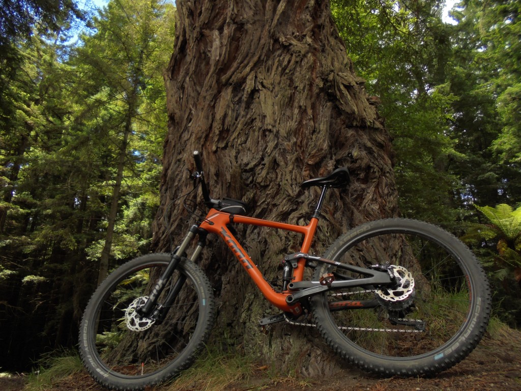
Proof that Todd is actually out there, literally working his ass off, and not just drinking on the beach while sending us random images from the internet.
This island seems to be constructed out of clay, and the trails feel as if made on a pottery wheel with the bike following the parabolic curves planned by the potter and mandated by the physics. You really feel this on a trail called Corners, where without the 8’ tall berms to redirect your inertia you would find yourself flying at precipitous speed through the forest for the briefest moment imaginable only to have that speed arrested one painful instant later by an oblivious redwood trunk. Twisting and falling at the same time one corner flows immediately into the next one and you begin to suspect that the bike is spending more time horizontal to the earth, than vertical. All of this regal silliness ends abruptly at a clear cut. I was curious about how I would feel about going from such a magical setting to such a devastated one,… but in reality the riding was the same, only more discernable from a longer distance away, and so you have more time to set up for the turns or jumps, whereas in the forest they come at you unaware (and very fast). You are also moving fast enough and the features are coming at you with such alacrity that you hardly have the available bandwidth to even notice what you are riding through, beyond it is sunny and not shady and green. Corners alone justified the 8000-mile journey, so I rode it twice.
You buy a ticket for a number of shuttle trips up to the top of the mountain. The shuttle is a small bus (bigger than a special needs bus but smaller than a city bus.) and it pulls a home-made trailer that holds 25 bikes. It looks sketchy at first but nothing ever fell off. The ride up takes about 20 minutes but the calorie savings are very much worth the $6 per trip fee. I bought 5 rides, and over 2 days I kinda got the gist of what this type of riding was about, and after doing Corners for a second time I was trying to figure out what could possibly be a grander finale to this visit. Every time I got to the top of the shuttle I looked at this trail called Eagle vs Shark, but it seemed to go in a direction that had few other options, and no option to regain the shuttle stop. So, I decided to try it on my last run down the mountain. I don’t expect to ever have the opportunity to ride anything as good in this lifetime. It was 2 miles of pure flowing bliss. I wanted to stop to savor it, but the features, turns and corners, come so fast and blend together so beautifully it would have been sinful to interrupt such an amazing feeling. Someone could have murdered me at the bottom with a machete and I would have been fine with it, there is nearly no point in continuing to ride after that…. But I will.
Taupo December 17th
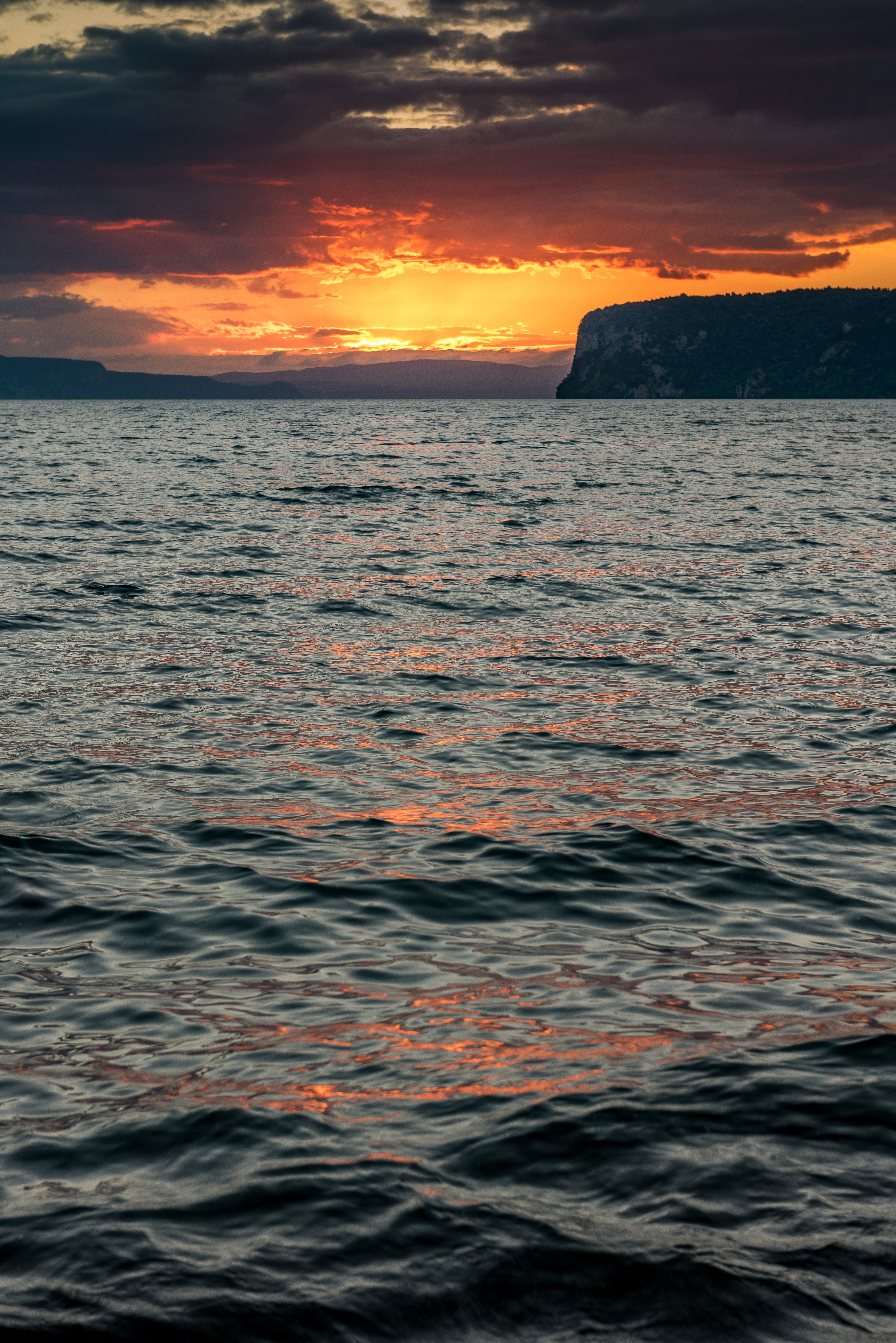
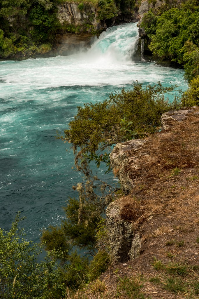
The drive from Rotorua to Taupo is about an hour through rolling hills, cattle, sheep and typical Zealandia utopia. Apparently, lake Taupo is friggin big, has one outlet and hundreds of water sources constantly pouring into the lake, and what that means is that the sole outlet has to get busy with getting rid of all that water. Hukka falls is where the lake becomes a river and that river moves a literal shit ton of water downhill, like right now. Oh, and its blue, I mean really blue, not glacial till aqua, I mean clean water dawn of time blue, this water looks brand new, I keep looking around for dinosaurs.
I didn’t have high expectations of what is billed as one of “the great walks, and oh you can mountain bike it too” but once I saw the terrain that the W2K trail was going to travel over I raised my expectations a bit, only to have them exponentially exceeded by the actual experience. The trail starts at some place called Waipo (how they ever keep them distinct I will never know) and rides up 2000 feet over a headland to a town called Kinloch, thus W2K. As a solo rider I did not have an option to get a shuttle return so I rode it as a halfway, out and back with a bonus loop around the top of the headland. I am going to have to start rationing my accolades, or inventing new superlatives because for a cross country ride, I cant think of a comparison. I am getting the sense that there is a premium on trails that traverse “native bush” (not what you think those of you with dirty minds). It means that it isn’t a planted forest or second growth tree farm terrain, but the thick jungle-like, fern-infested stuff that was the original cover of the hillsides. The trail was just steep enough that you had to breathe, but never so much that your legs started burning,… so perfect? Not for the first time I had a sense that I was riding a bike through a magical forest. Thousands of shades of green, moss and lichen covered trunks, fern fronds the size of Buicks that whack you in the face with significant malice, I am sure that there were fairies and leprechauns lurking just out of sight, fairy dust and shillelagh at the ready. The loop around the headland offered a beautiful mix of climbs and downhills as well as numerous points to digress to lookouts where the idea that you are looking at a lake seems absurd. Recovering all of that elevation was like a five mile long dance with the ferns. You actually can’t let it all hang out because it is a two-way trail and with tight corners you could kill someone or find yourself flying off into the woods getting cudgeled by a leprechaun. An absolute world class ride that makes me wonder about the utility of having a quality scale for mountain bike trails similar to rock climbing routes. This would be five star.
I have reservations to do the final section of this ride which is a 19 mile point to point ride that finishes on a remote beach, where you are picked up with a boat and returned to your car.
Here is the link to the Onedrive account where you can view or download Todd’s photo’s from his trip. There are way better pic’s here than we have put on this page. Check it out!

