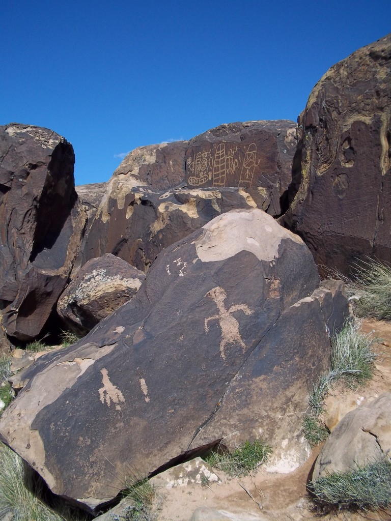
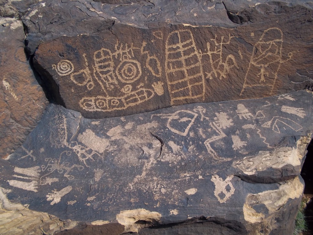
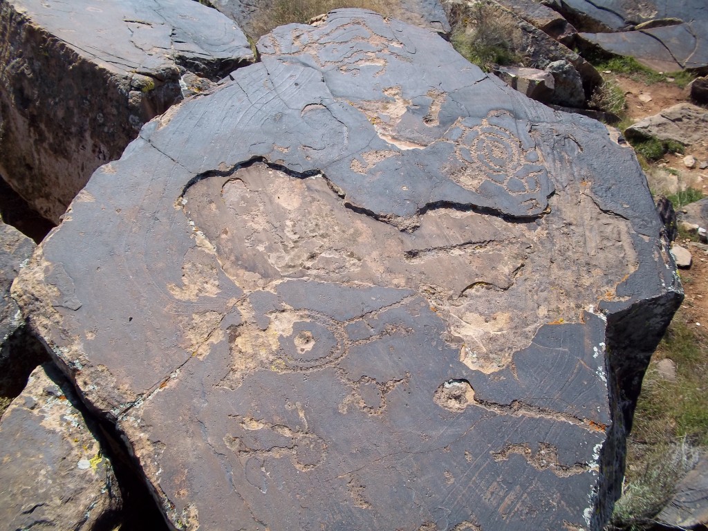
Hundreds of petroglyphs are scattered across a cliff edge over-looking the Santa Clara River. The short hike is well-worth it, as this site has one of the highest concentrations of rock art in the area. They are believed to be mostly Anasazi, based on their style, and the fact that there is an Anasazi food storage site less than a half mile away from the petroglyphs. The river below the cliff was heavily farmed by the Anasazi, hence the site’s name. Some of the petroglyphs are believed to be maps of their crops. However, like most sites, it is believed to contain art from multiple waves of natives over thousands of years, including the Paiutes. The view here is spectacular, with the River below and the Red Cliffs National Conservation Area & Snow Canyon State Park to the north.

Many symbols appear to be maps of the land, charts, or perhaps just cool designs. Human figures are often distorted. Body proportions and the number of fingers and toes are rarely correct.
Directions:
From St. George, head west on Sunset Blvd., for 7 miles.
After you pass 400 South St. on your right, drop down a short hill. On your left is 2 stacks of boulders, over ten feet tall at 7.1 miles from the beginning of Sunset Blvd.
Drive between the boulder stacks on the well-maintained dirt road. The parking lot is on the left at 0.3 miles from the highway. This road is on private property so please be respectful.
Follow from the trailhead up the gravel trail for approximately 1.3 miles to the cliff edge.
From here, explore along the cliff edge to the left(SSE) and you will begin to see the petroglyphs at your feet (so be careful where you step.) There are also many on the surfaces facing the river so hike below the cliff edge to find more.


