Bouldering
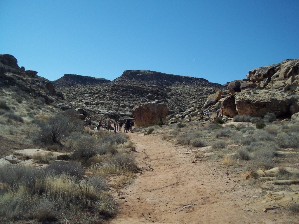
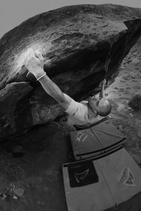
Saint George Utah is a Bouldering paradise. There are several local spots that are great for this growing branch of climbing. Many of these bouldering areas are within a ten minute drive from the center of town, and still have lots of un-climbed rock for development of new routes. Many climbers travel here in the cold season to play in Saint George’s boulder fields without even bringing their ropes or harnesses. Though it is not on our website, we can guide you to some wonderful bouldering areas. Please contact us to hire a private bouldering guide.
Warning: No type of sandstone should be climbed after or during the rain because it easily breaks when moist. Give it a couple of clear days to dry out.
Red Rock Bouldering
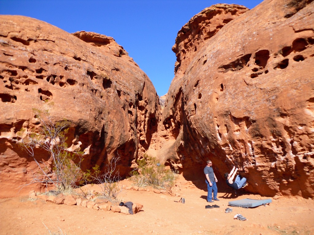
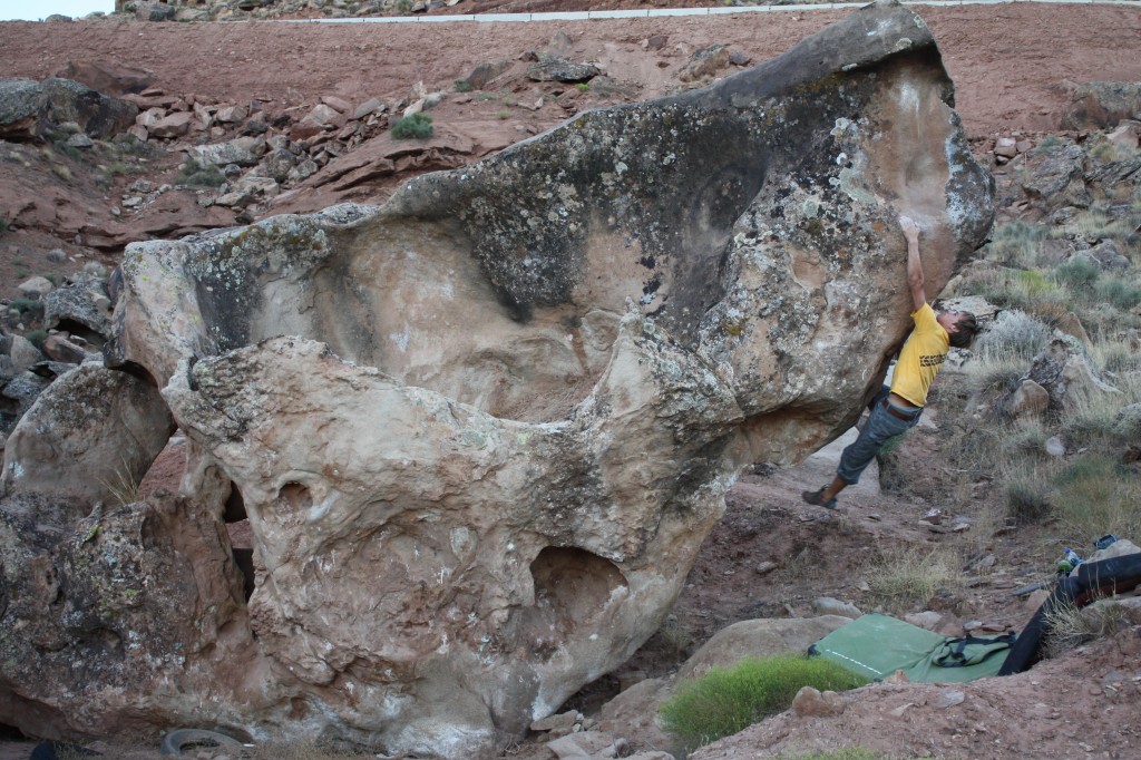
The iconic Navajo Sandstone of the Southwest, also called red rock or slick rock, can be seen all around Saint George. Climbing on this rock can be very chossy and eventually greasy from lots of use. It can be smooth and featureless, or covered in varnish jugs, huecos, moss and lichen.
Pioneer Park
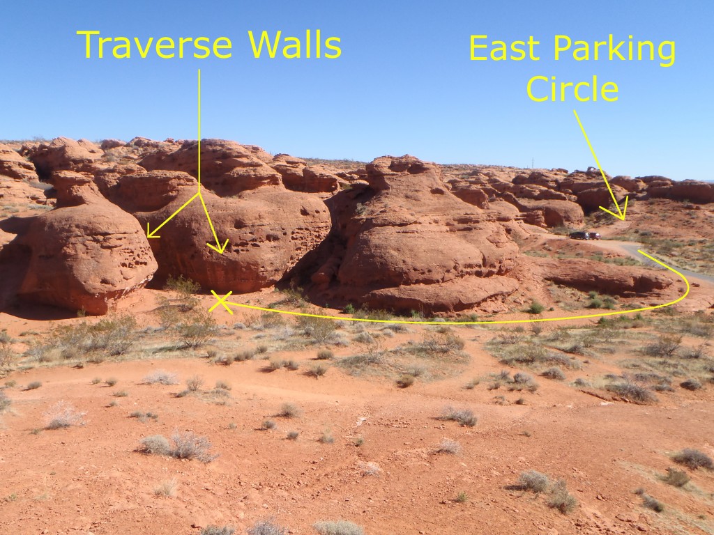
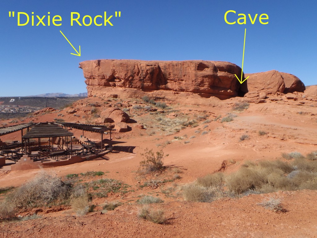
No part of St. George’s Mars-like landscape is as accessible as Pioneer Park. It can be seen to the north from the center of town. It is the red bluff where locals have written “Dixie” in huge white letters, hence its nickname: “Dixie Rock.” It’s a great place for casual day hiking, scrambling, bouldering, rappelling and even has a couple of sport climbing routes (some still feature pitons as anchors). Most Bouldering routes here are not rated and most cannot be topped-out due to the sloping nature of the sandstone.
- Directions: Two driveways lead you to this city park on the north side of Red Hills Parkway, between 200 East St. and 900 East St.
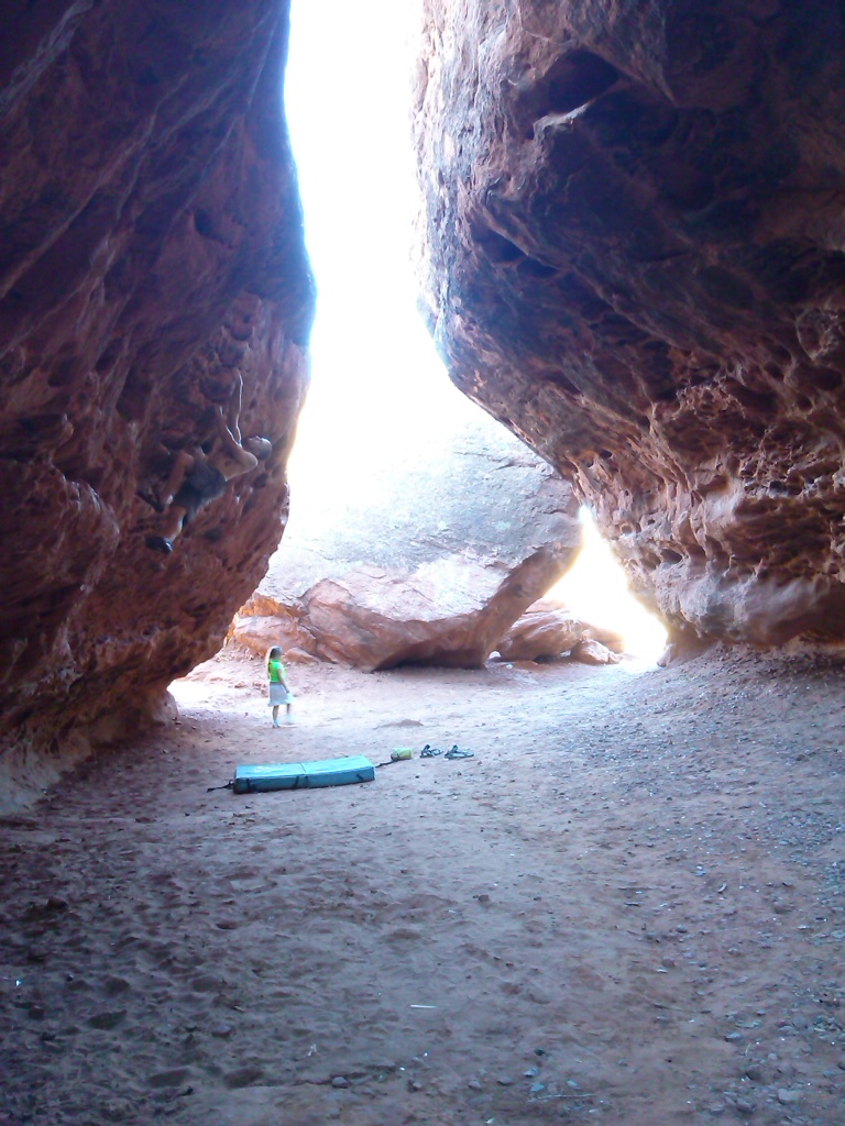
- Local Tip: There is a cave behind/under the prominent “Dixie Rock” (the one that bares the painted name and has the small bridge leading to its peak) which stays dry during light rain and is sometimes the only place to boulder when it rains. It is pretty chossy but there are a few problems to play on.
Conglomerate Sandstone Bouldering:
Moe’s Valley and many other under-developed bouldering spots are scattered throughout several nearby plateaus of Shinarump Conglomerate Sandstone. This geological and biological treasure includes the popular Moe’s Valley, the Green Valley Gap Boulders, the Zen Trail Boulders, and some new obscure spots. Daniel Woods described the rock here as “some of the best sandstone in the U.S.” At times, the hold you are reaching for is a petrified piece of 230 million year old wood. Late October to March is the best season for bouldering here. This rock also breaks easily when moist.
Local Tip: Befriend a local boulderer. They may be willing to show you the new areas that aren’t published. The opportunities for setting new bouldering routes in this area is astonishing. Ask about Santa Clara Mountain or Mario Land to name just a couple.
-
Moe’s Valley:
Moe’s Valley is becoming more popular by the day. First climbed by Todd Perkins, this area has grown to contain hundreds of developed routes but the surface of this place’s potential has only been scratched. “Moe’s Valley Bouldering Guide” by Tyler Webb is available at our local gear shop, The Desert Rat.
- Directions: From Tonaquint Drive, turn north onto Curly Hollow Drive. The pavement ends. Continue straight onto the dirt. Light trucks are recommended but some crazy locals get their small cars out here. Hiking from here is approximately 3/4 of a mile to the boulders. As it turns to dirt, take your second left(uphill). As you crest this hill, a maze of small roads here makes specific directions impossible, so from here, look down to the west for a small boulder-strewn wash with power lines crossing it. This is lower Moe’s Valley. You may see cars in the 2 parking areas. Upper Moe’s Valley is a short hike up the wash from the lower valley. Stay to the right of the wash for the North side. There is a split-off wash to the left for the South side of the upper valley. This split-off is usually marked by a cairn.
- Local Tip #1: Respect & appreciate this land. SITLA (State Institute Trust Land Association) owns this land. Their sole purpose is to sell land to generate revenue for the state’s school system. This land was nearly sold once & SUCC (Southern Utah Climbers Coalition) saved it…for now. SITLA offered to lease this precious recreational land to the City of Saint George instead of selling it to land developers who would blast the boulders flat in a heartbeat. The main reason the city did not accept this deal was because of the amount of campers & their trash that would have required maintenance & patrolling, making it a liability & an expense. Please camp at the end of Curly Hollow Road before going left up over the hill to help keep this situation under control & help preserve it for our sport and future generations.
-
Green Valley Gap Boulders:
The Green Valley Gap is a popular sport climbing crag, as well as world class mountain biking trails. At the bottom of the canyon, there are many boulders that rarely are climbed. Other random, under-developed boulders lie further west than the sport climbs, at the base of both the north and south canyon walls. This area has very few established problems.
- Directions: From Dixie Drive, turn West onto Alienta Drive. Continue straight onto the dirt as the pavement ends. Navigate a maze of random roads to follow the power lines down the hill. From the hill you can see The Gap. It is the obvious canyon to the west. Park on top of the north side of the canyon to hike to its west end or park at the bottom of the canyon to hike through its east portion.
-
Zen Boulders:
The Zen trail is an amazing mountain bike trail. A small portion of this trail passes through a small bouldering area that few ever climb.
- Directions: 4-Wheel drive required! From Green Valley Gap, follow the power lines south to the fenced-in substation on your right. Turn right after this station. As the road heads up hill, take your first right. This road gets pretty rough and eventually disappears. Park where you can and continue on foot to the boulders to your west.
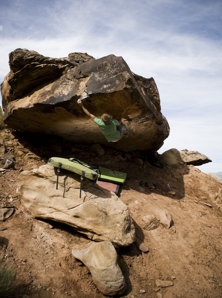
Brent Maxfield climbing “Baby Crackers” at Garth Rocks, Saint George, Utah. Photograph courtesy of Hector Florez.
Garth Rocks:
This new Shinarump bouldering area may not last forever, as the state is still selling land here for housing development. No guide book has been published for this spot yet.
- Getting there: Light trucks or high clearance vehicles recommended. Garth Rocks is the north side of the plateau where our new airport sits. This can be tricky as the roads here are still being paved and can change. For now, take River Road to 2450 South St, head East on 2450 South St. until it ends at a stop sign. Turn Right onto 3000 East St. As this road turns to dirt, you will see the cliff in the near distance on your left. Now there is a parallel dirt road on your left. Take the easiest route you see to get onto this rougher road parallel of 3000 East St. There is a clear left turn leading to the cliff/boulders. It will pass through a fence then it rounds a small hill. Turn right after this hill and this road will take you to the parking area. The boulders are all over here as well as some on top which are not on airport property.
- Local Tip: Help keep this place open to climber use by helping to clean up the generations of trash here and by staying away from the petroglyph!
Author: David Ward, Paragon Adventures Guide
